The Cotton Belt comes to town
by Tim Campbell · first published 2 September 2017 · his original post
You've heard the expression "well that put the town on the map". The coming of the railroad to Blooming Grove in the late 1880s put BG on the map to stay. I have yet to find a 19th century map that displayed old Gradyville. Once the railroad came to town, Gradyville became a short lived piece of history, and in the late 1880s the newly relocated city of Blooming Grove came to be.
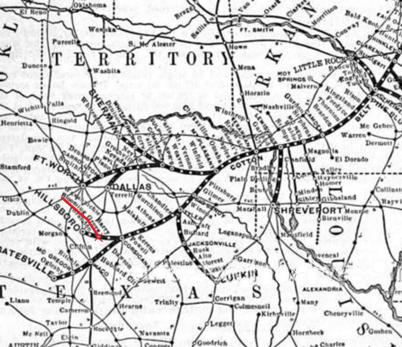
Photo 1 here is an excerpt from a map issued by the St Louis Southwestern Railway showing their famous COTTON BELT line. The whole map covers much more territory. I just zoomed this one so you can see that Blooming Grove was indeed "on the map" by 1900. Note that there is a stop on the route every few miles. My father used to say that this was because the original train was a steam engine and the train had to take on water and firewood often to keep running.
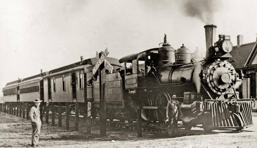
The 2nd photo is of one of the Cotton Belt steam trains, taken circa 1910-1920. Either this very train or one very much like it ran through Blooming Grove in the day. The tracks were located where the "dip" in Fordyce Street is, next to the city park, and ran through the low area behind the present day tennis courts. A lumber yard was located where the current city park now exists. Many of the early 20th century homes in Blooming Grove are covered with cypress siding which was probably shipped in from East Texas on the Cotton Belt. Later, in the late 1920s or early 1930s, the old steam engines were replaced with the "Interurban" train, which I believe was powered by electricity and resembled a streetcar.
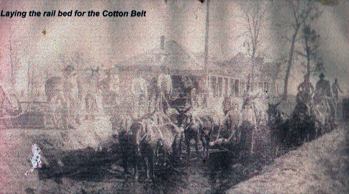
Photo 3, although of poor quality, shows a team of mules being used to lay the railbed for the Cotton Belt. This would have been circa 1885 I believe.
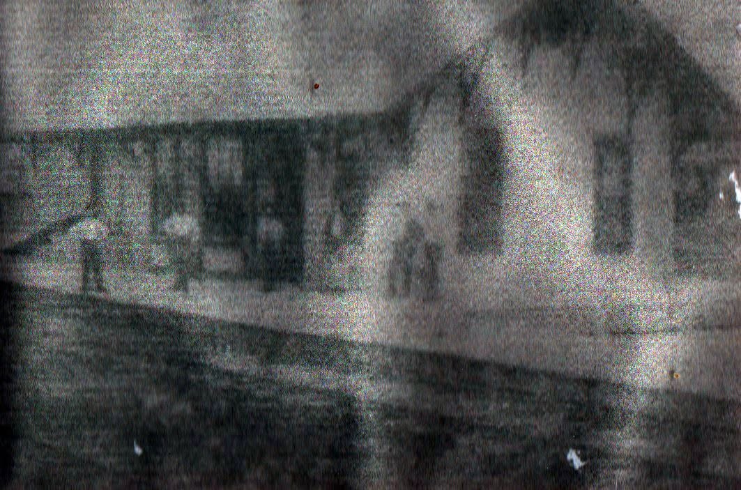
Photo 4, also of poor quality, shows the Blooming Grove Cotton Belt depot, circa 1900. The 2nd man from the left is Will High, who built the home still standing at 509 S Fordyce (also formerly known as Highlander Inn). Two of the other men are Grady brothers, Robert B. Grady and Tom Grady. The depot was located just north of the present day childcare center (recently closed) on the west side of Fordyce Street. By the way, Fordyce Street was named for Samuel Fordyce, president of the St Louis Southwestern (Cotton Belt) Railway.
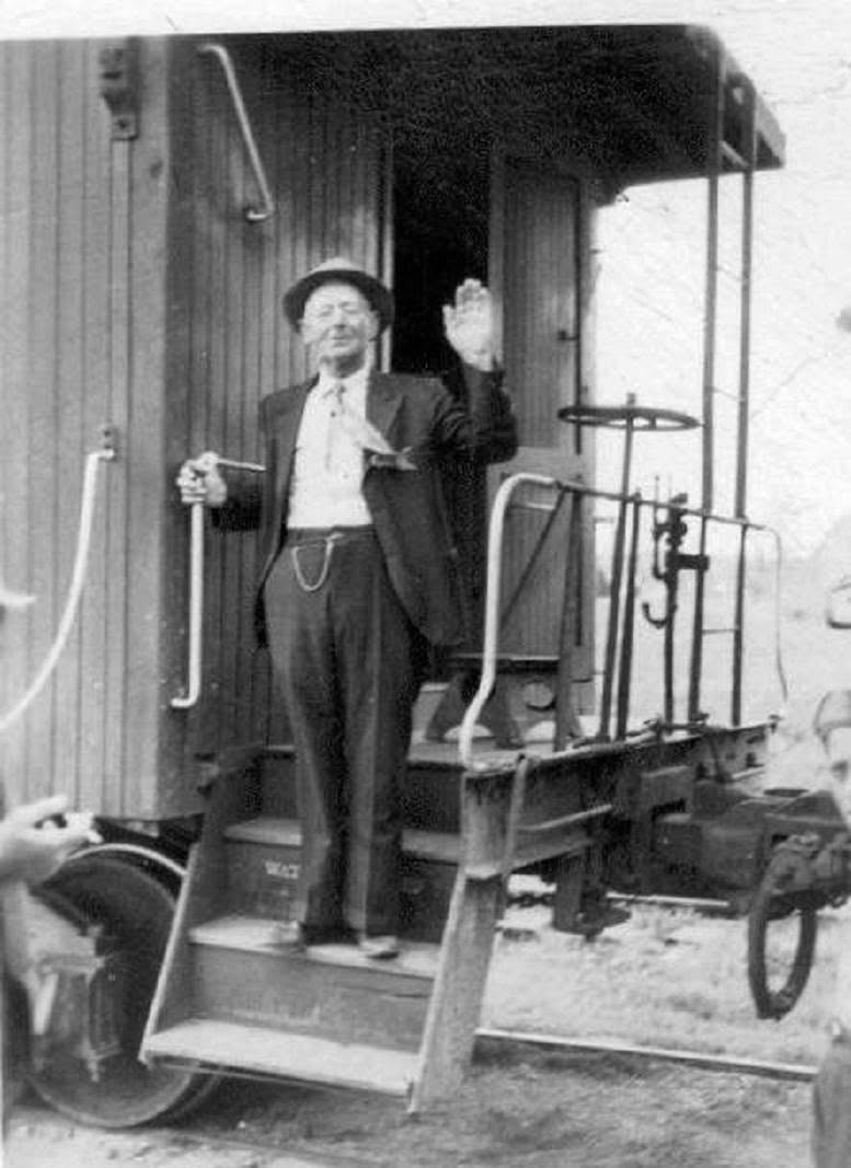
Photo 5 is of longtime Blooming Grove resident Mel Deason. He was a local plumber and carpenter/handyman and his colorful language was legendary among the locals. Mel had the distinction of being on the first train that came into Blooming Grove in the 1880s AND the last train out of town when the railroad closed the route in the late 1930s/early 1940s. I believe this photo was taken as the train left on its last route.
Photo 6 and 7 are of a cuspidor, another of my finds at the Canton flea market, which was used on the Cotton Belt, circa early 20th century. It is conspicuously marked COTTON BELT in red so as to leave the user no doubt that it was to remain on the train and not be pilfered.
This piece was published without a title. The one above was written here; the words below are his.